Accurate Routing on Rural Roads
September 09, 2019 by Anonym
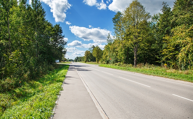
Laramie County is in the High Plains of Wyoming. It’s an area full of open spaces that stretch for miles. The county itself is 2,688 square miles in size with many sparsely populated areas full of nothing but rugged terrain.
While emergencies don’t happen often in this area due to the lack of population, when they do, it’s imperative that first responders get on the scene as quickly as possible. This is especially important when a call for service involves some of the most remote areas full of what locals call “oil roads.”
According to Dominic Davis, public safety administrator for the county, oil roads seemingly go up overnight as a result of the influx of workers that come in to drill in the area.
“The oil boom comes in waves,” Davis said. “Roads will go up and never make it onto Google maps, which used to be a problem when we needed to send a response.”
To mitigate this problem, the agency mapped each oil road into the GIS portion of its public safety software system, which enables them to accurately route first responders in the event of an emergency.
“With people working in the oil industry, there are a lot of injuries that happen out at these sites,” Davis said. “Being able to get help to anyone in need is much easier when our first responders can look directly at their mobile units in their vehicles and see where they need to go.”
Having direct access to accurate routing information in mobile computer aided dispatch (CAD) terminals in vehicles, first responders see all details about a call for service and accurate routing information. This ensures that they stay in communication with dispatch and other responders while also viewing all call and routing details.
“When we find out an accident has happened 15 miles from a main road, and we have the software tools that we have, it means we know we can get a response to someone in need as fast and safely as possible,” Davis said.